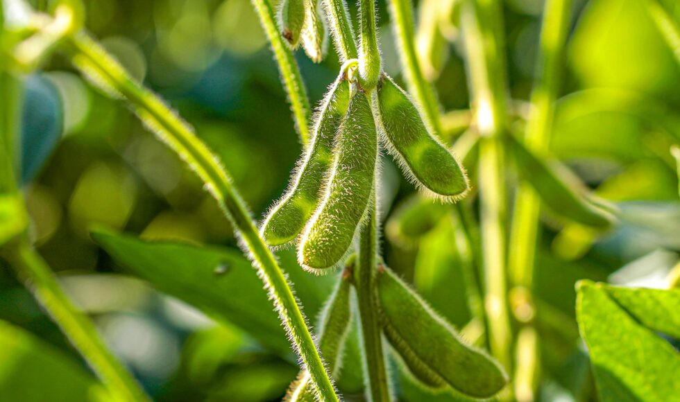
If you want to effectively tackle deforestation, you need to know what caused it. You need to know where deforestation is happening, but also if soy is actually grown in those deforested locations. During the ongoing season, year in year out. This direct relation is what really matters for monitoring progress towards responsible soy, but is all too often forgotten in many monitoring solutions.
In this story we give you another important pitfall. And even better: the solution on how you can show the right progress towards tracking sustainable soy. We used satellite tech (Sentinel 1 and 2) with machine learning to map the Cerrado in Brazil from 2014 up to 2019 to show you how it works.

Up to date information is needed
Groundbreaking initiatives such as mapping and monitoring tool Mapbiomas, advanced planning tool Agroideal, monitoring tools Sojamaps and PRODES are a fantastic step towards achieving more transparency on how and where soy is/should be produced. Does this mean that exhaustive information required is available now to report progress and take action? Almost: soy distribution of recent seasons is typically missing, and deforestation information appears to be incomplete, inconsistent and not timely enough because of persistent cloud cover. This is where our radar-based information can complement and strengthen ongoing initiatives for real time monitoring and reporting of progress.
Radar can report timely progress
Brazil operates one of the most advanced monitoring systems in the world, but only deforestation areas over 6.25 hectares are detected weekly to monthly. The more accurate deforestation information at 30m detail is only released once every year. Radar satellites provide the real time imagery to better target enforcement operations, making them more effective. With the much higher spatial resolution of 10m detail, initial phases of clearing can now be recorded much more timely.

Relating soy-related deforestation to land owners
In Brazil land ownership information is public, so using the Rural Environmental Registry, we link soy-related deforestation data to land owners. Further promoting traceability and achieving sustainable supply chains.
Latest insights: deforestation due to soy decreasing
Our latest findings show deforestation due to soy in Brazil’s cerrado seems to be decreasing since 2015. Yet, overall deforestation (for e.g. other crops, pasture, mining), is increasing. Furthermore, soy can be planted on deforested areas first used for pasture (beef) for one or more seasons. So we have to keep tracking land use. A second issue to consider is that soy in Brazil is mostly double cropped, e.g. with soy early in the season and a cereal crop (e.g. corn, millet, sorghum) for a second harvest later in the season.

Integrated approach of all agricultural and production activities needed
This shows we should not focus efforts on sustainability of a single commodity such as soy alone, but have an integrated look at all agricultural and other activities at production landscape level. Given the recent sharp increase in deforestation, monitoring of the fate of Brazil’s natural vegetation using multiple systems now seems more important than ever.
Want to know more?
Let’s talk about how our satellite insights can work for you! We can give you a free demonstration, no strings attached.
Leave your contact details and we’ll get back to you as soon as possible.
Are you not active in the soy supply chain but in cocoa or palm oil instead? No problem we work in South East Asia and West Africa as well.