
About Musim Mas
Based in Singapore, Musim Mas is one of the world’s largest integrated palm oil corporations, operating across multi-industry value chains in the Americas, Europe, and Asia. In September 2020, Musim Mas reaffirmed their commitment to sustainability with a policy designed to improve the livelihoods of smallholders and communities, deliver positive environmental impacts, maintain responsible relationships with suppliers and stakeholders, and drive innovation in their sustainable practices.
The Context
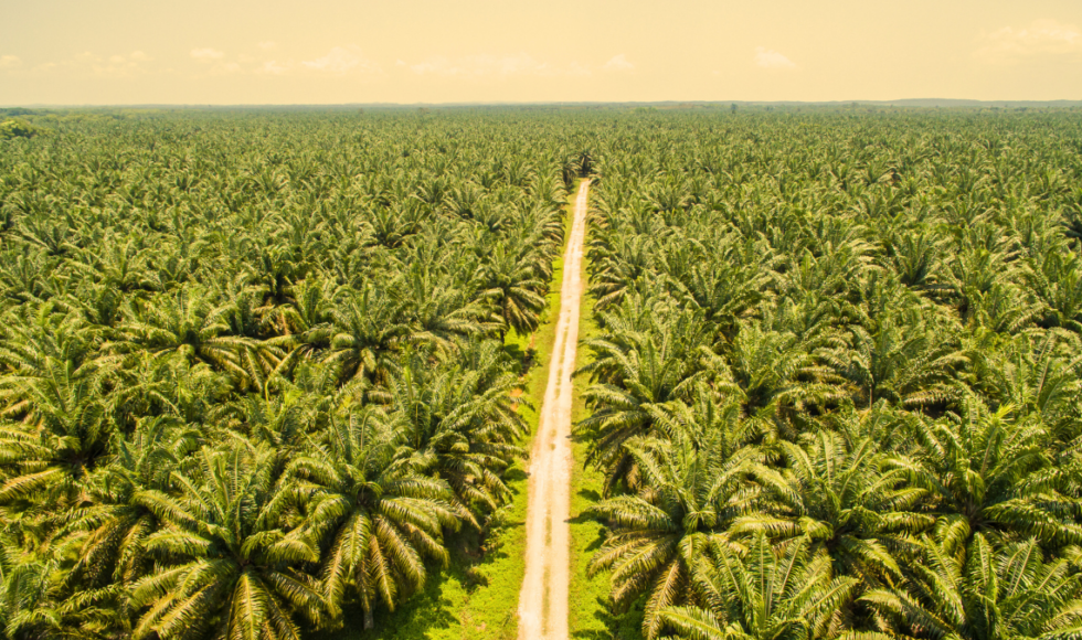
In Indonesia, the Aceh province is a priority sourcing landscape for Musim Mas, sourcing Crude Palm Oil (CPO) and Palm Kernel (PK) from 31 mills. Aceh has grown to be a focal area of many NGOs and customers. This has strengthened Musim Mas’ resolution for landscape transformation in Aceh, despite not having an operational presence in the area and that the Aceh region is a small contributor to the Group’s supply.
Since 2014, Musim Mas has been engaging mills in Aceh through supplier workshops and independent smallholders through suppliers and the government’s village extension officers. The ongoing engagements culminated into a five-year strategy and roadmap for the Aceh landscape that the Group announced in 2020.
To advance innovation in their practices, Musim Mas sought Satelligence’s services to assess deforestation and oil palm development to inform their Aceh strategy and collaborate with landscape-level projects.
The Solution
We conducted a pilot with Musim Mas using detailed new satellite-derived risk assessment insights to understand where smallholder and industrial plantations are located, what planted area is inside protected areas, what is the total acreage of planted palm and average palm age around Rawa Singkil Wildlife Reserve, Aceh Singkil, Indonesia.
We performed advanced machine learning and artificial intelligence analysis on high and VHR satellite datasets to map the planted palm oil distribution on the sample area, smallholder and industrial plantation locations, which planted areas are inside protected areas, and the total acreage of planted palm and average palm age. These datasets were derived from 7-10m high resolution, Sentinel-1 radar, Sentinel-2, and Landsat imagery.
The Impact
Satelligence mapped a total of almost 40k ha of the palm distribution within the Singkil sample area. Half of this is industrial plantation, the other half is smallholder farms. Of all the planted palm, only 1.4% is planted inside a protected area. The mapping also considered the historical deforestation trajectory of the area since 2016. Satelligence identified a total of 5,983 ha of deforested surface area between 2016 and 2021.
Additionally, the planted palm map result provided a significant improvement over previously available public planted palm datasets (e.g., Descals et al. 2020), highlighting that while large-scale mapping exercises have advanced information availability, they often are not suited for baseline and risk analysis in smallholders-intensive contexts.
A risk score per village was calculated based on the surface area of planted palm within the protected area. Satelligence found ten villages with some risk.
The analysis that Satelligence conducted supports Musim Mas in their mill and smallholder engagement and it enhances the implementation of their Aceh strategy and Sustainability Policy.
In particular, the baseline information produced will be of importance to the new Smallholders Hub in Aceh Singkil, which is established with the support of General Mills. As part of the project, Musim Mas would be employing RADD to monitor deforestation in the area, an initiative where Satelligence play a critical role.
Musim Mas Sustainability Progress At a Glance

