The Project
Over the past few years, Satelligence and REA have successfully implemented a near real-time vegetation change alert system operational over the estates and surrounding area of R.E.A Holdings plc (REA) in East Kalimantan, Indonesia.
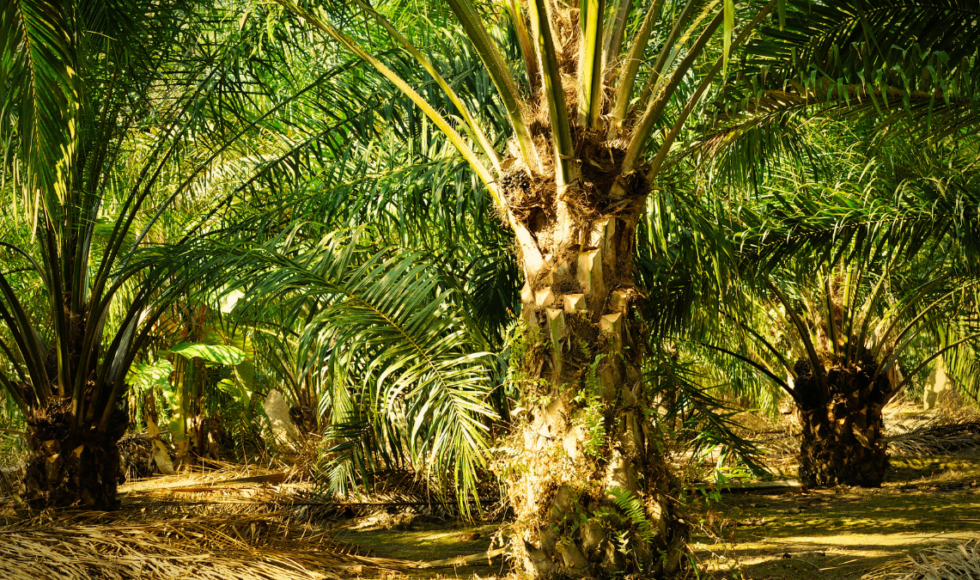
The REA Group is principally engaged in the cultivation of oil palms and in the production and sale of crude palm oil and crude palm kernel oil. Some 20,000 hectares (approximately 20% of REA’s land bank) are designated as conservation reserves.
The group also has two methane capture facilities that generate electricity for the majority of its operations and employee housing, as well as supplying power to the villages in the vicinity of the group’s operations.
REA has a set of policies established that aims to support the group’s commitment to sustainable practices. These policies cover business ethics, responsible development, environment and biodiversity conservation, human rights, and health and safety. In 2020, the group adopted a supplementary policy of “No Deforestation, No Peat and No Exploitation (NDPE)” to further clarify the group’s commitment to sustainable development.
The Challenge
REA operates agricultural land allocations in East Kalimantan. The group required a system that would allow them to monitor the area in order to sustainably develop their plantations.
Moreover, as REA regularly evaluates its approach to sustainability, the group needs to provide relevant information to its stakeholders to ensure that the group addresses the risks and opportunities associated with its expanding business and meets the evolving expectations of its partners.
The Solution
Satelligence implemented a satellite-based near real-time vegetation change alert system using a sensor-independent integrated approach at 10-30m resolution, providing alert bulletins at least every two weeks.
The system monitors changes in forest cover, detecting vegetation cover changes such as plantation development, road development, encroachment, and fire damage in natural forests, riparian areas, peatland areas, conservation areas and other areas of special interest potentially posing a high risk.
Additionally, the monitoring service provides information on what is currently happening and what has happened in the past.
The Impact
Our system has proved to be of great value to REA, offering information that previously didn’t exist and allowing the company to prove to NGOs, financial institutions and other relevant third parties that the group is on top of any changes that occurred in their concession area.
The company is now able to provide timely, independent and objective information to guide discussions with key stakeholders. The system has allowed REA to share valuable information with local teams and control a greater area which they can then visit and check in order to get involved and stop deforestation from happening.
By partnering with Satelligence, REA is able to protect its reputation by defending the company from criticism and demonstrate the progress the group is making to tackle deforestation
Based on the information provided by our platform, REA follows between 5-10 alerts on average per week outside their concession areas. In order to verify activity in certain areas, the company gathers the location data from the platform and the information concerning the activity to send smallholders and community development staff to those locations.
For alerts concerning land-clearing or fire hotspots, REA gets in touch with the relevant estate manager and requests to investigate and provide a report on the incident including actions taken to extinguish fires or combat any illegal or unauthorised land-clearing.
Through the cooperation with REA, we have benefited from ground-truthing inputs and valuable information for the development of the Web-App. Whilst we provided technical knowledge, REA provided us with local knowledge and ideas for improvements. We took into account the inputs provided by the company to update our services and meet our client’s needs.
Thanks to our partnership, we have been able to develop the system, from detecting deforestation and covering other vegetation changes including the construction of canals, roads, fire occurrence, plantation development and encroachment in neighbouring estates to support the work of the sustainability team in taking immediate action.
One of the current developments occurring at Satelligence is the major improvement of the Web-App that has been created based on the inputs provided by our clients.
