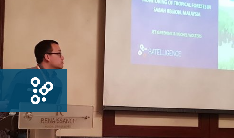
This week Satelligence colleagues Jet and Michel are joining the Asian Conference on Remote Sensing (ACRS) in Kuala Lumpur to present the conference paper on our prioritized deforestation alerts system. They discussed the methodology behind the prioritization and showed how the system works in Sabah (Malaysia).
The State Government of Sabah aims to have all oil palm plantations RSPO certified by 2025. Great news! But how to comply with all forest protection requirements? There are vast amounts of satellite data that help monitor land use changes, but really how to know which changes matter most in such complex landscapes? That’s where Satelligence comes in.
For the paper, four river basins in Sabah with a total area of around 23 000 km2 (roughly a third of total area of Sabah) were used to demonstrate the system. We show that with the use of radar satellites, the effects of cloud and haze cover are mitigated and real-time deforestation alerts are created. Satelligence prioritizes these alerts to provide a clean and simple overview of the highest risk areas that matter most.
Additional advantages of using this method are:
- The prioritization is designed to be applied on large areas for the monitoring & intervention of deforestation all around the world;
- Besides detecting deforestation, the system can also be used for the monitoring of plantation performance, expansion and tree age;
- The system can be used for a full fledged integrated vulnerability map.
Satelligence has long been working together with the palm oil sector, governments and NGOs to make sure the decision makers get relevant information, know what to act on instantly and respond proactively.
For more information about our prioritized deforestation alerts system, contact us!
The answer is, from the air, or rather, from space, using satellites, and artificial intelligence (AI), to provide accurate, customised data about where deforestation is taking place and provide farmers with equally accurate, customised information that they can use to grow more cocoa, but without encroaching on the forest.’
(…)
‘Rainforest Alliance, Grameen Foundation, Touton, Satelligence, University of Ghana, and Waterwatch Projects set up the SAT4Farming programme to provide farmers with information and services to improve productivity and sustainability. The aim is to use digital technology and satellite imagery to create customised Farm Development Plans (FDPs) that can guide farmers and help them increase productivity. The aim is to increase their average productivity by up to 1,500kg per hectare – that would be a 300 per cent increase.’
(…)
‘Until recently, it has been impossible to accurately and cost-effectively map cocoa production in entire countries at farm-level because cocoa trees show up as forest in conventional satellite images, but Satelligence developed a new approach using freely available Sentinel-1 and 2 satellite imagery and scientific concepts developed in Ghana in order to overcome this issue.’
(…)
‘Having continuous cloud free observations from satellite-based radar is a ‘game-changer’ for early warning of deforestation and can help verify drivers of change in the forests of Côte d’Ivoire and Ghana. It can also help efforts to plan for rehabilitation of illegal cocoa farms in parks and reserves, providing local people with alternatives to cutting down trees to try to make a living income.’
Read the full article and find out more about helping farmers make a living income and tracking progress towards zero deforestation in the cocoa supply chain.