The recent scale of devastating tropical forest fires in the Amazon is something the whole world is talking about. The impact on the environment is massive, and it’s sad to see so much tropical forest disappear. NOS, the largest news organization of the Netherlands, asked us to help them give a birds-eye view of the impact of these fires using satellite images.
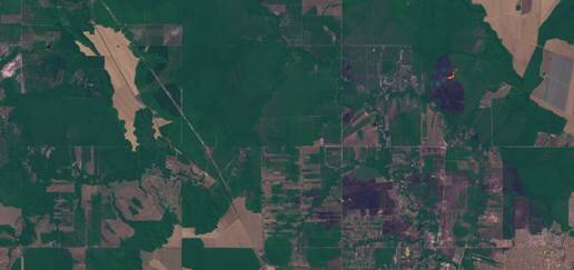
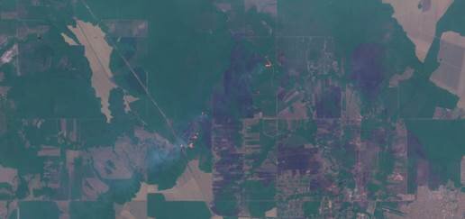
We actively track the fires and resulting damage, using Sentinel and other satellite data (see below). You can see satellite images of the fires near Vilhena, state Rondonia, in the Amazon.
The first map dates from the 6th of August, the second map shows the 16th of August. You can see the difference in air quality (smoke) and impact of the fires on the land:


Read the full article here (it’s in Dutch!).
