Suriname has the most forest coverage per hectare in the world (93% of the country). Groene Groei Suriname has committed to protect these forests. In partnership with them, we enhance their ‘eyes on the ground’ monitoring the Suriname Forestry Belt with our processed and analysed satellite data.
Our data combines optical satellite (Landsat, Sentinel-2) and radar technology (Sentinel-1) which ensures high-resolution, actionable data and can see through the clouds, which is extremely suitable for tropical regions.
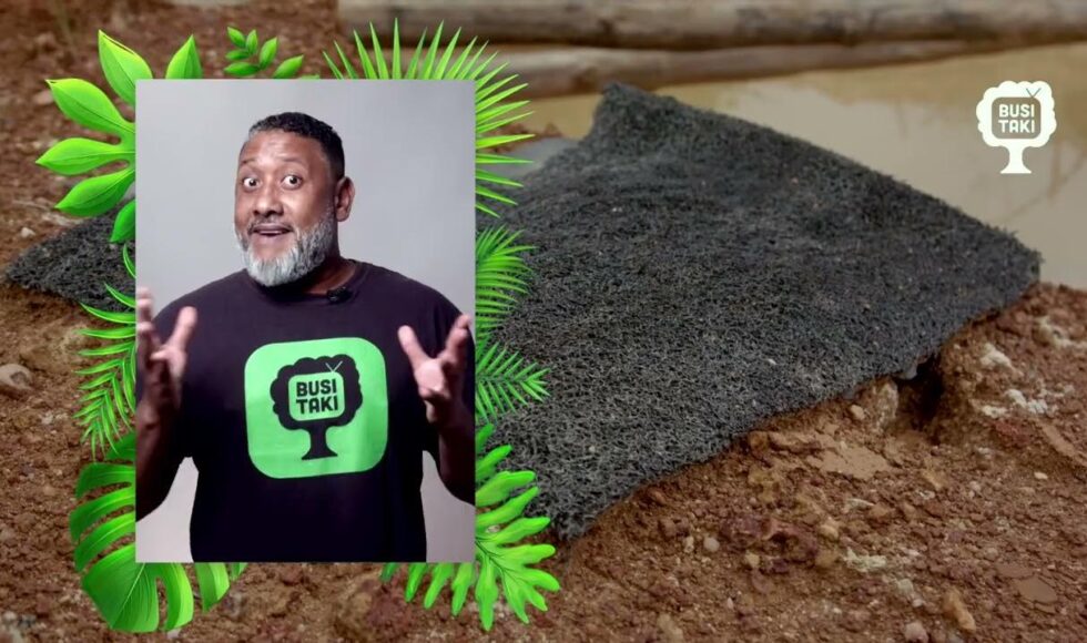
Watch the first episode of the new web series Busi Taki where they explain how they use our data to protect the forest.
Read more here (in Dutch)