Hafidh, we are delighted to have you with us at Satelligence!
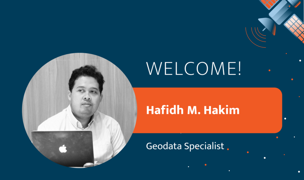
Hafidh Muhammad Hakim is GIS and Remote Sensing Specialist and has a bachelor’s degree in cartography and remote sensing at Gadjah Mada University. He has 10 years of experience as a researcher and practitioner in the geospatial field. He’s also experienced in the agribusiness industry for managing conservation areas and monitoring deforestation. He’s certified in GIS from Indonesian Professional Certification Authority. Before joining Satelligence, he worked as Monitoring and Remote Sensing Specialist at GAR. He now works for Satelligence from Indonesia.
He loves to play with his daughter and read books. He cycles in the weekends. Beaches and mountains are his favourite places to refresh. However, due to the pandemic, he enjoys watching a good movie, in particular science fiction and history.
Hafidh Muhammad Hakim is GIS and Remote Sensing Specialist and has a bachelor’s degree in cartography and remote sensing at Gadjah Mada University. He has 10 years experience as a researcher and practitioner in the geospatial field. He’s also experienced in the agribusiness industry for managing conservation areas and monitoring deforestation. He’s certified in GIS from Indonesian Professional Certification Authority. Before joining Satelligence, we was Monitoring and Remote Sensing Specialist at GAR. He now works for Satelligence from Indonesia.
He loves to play with his daughter and read books. He cycles in the weekends. Beaches and mountains are his favourite places to refresh. However due to the pandemic, he enjoys watching a good movie, in particular science fiction and history.