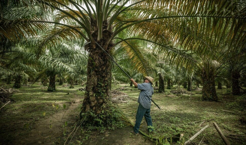
Established in 2008, GREPALMA brings together small to large growers who are committed to the responsible cultivation of palm oil in Guatemala. As an association, their aim is to foster a sense of social and environmental responsibility, presenting the sustainable production of palm oil as economically viable and a means to develop their neighboring communities.
The Context
In 2019, GREPALMA created the voluntary commitment to zero deforestation. In line with the agreement, GREPALMA sought a neutral third party for satellite verification of compliance to the commitment.
The satellite monitoring verification would need to:
(1) Assess current deforestation activity in real-time to track progress towards NDPE commitments;
(2) Assess historical deforestation to identify trends and patterns for deforestation hotspots;
(3) Map the extent of Guatemala’s palm oil hectares in 2020.
The Solution
GREPALMA brought Satelligence in to meet these monitoring criteria. We developed a global near real-time satellite-based vegetation change alert system using a sensor-independent integrated approach at 10m resolution. This system makes use of both radar and optical satellite imagery, enabling change detection even in cloudy weather, resulting in more accurate and reliable satellite data for deforestation monitoring.
Reaching back to 1984, Satelligence monitored the entire Guatemala palm oil area, with a special attention to the RSPO cut off date in 2008, and highlighting deforestation before and after 2008 accordingly. Covering the extent of palm oil, we created the visual map of palm oil acreage based on the interpretation of all S1 and S2 satellite imagery of the years 2019 and 2020.

The Impact
The outcome of our work resulted in a tailored service that monitored current activity providing GREPALMA staff with actionable information on detected problem areas, which enabled them to assess and mitigate the issues appropriately. With real-time deforestation monitoring, we detected changes in the vegetation cover for natural forest, riparian, peatland and conservation areas, as well as other high-risk areas. These areas could be identified as either plantation development, road development, encroachment, or fire damage, to which Satelligence helped GREPALMA prioritize vegetation changes that were relevant and in need of immediate attention.
With technical support from Satelligence, The Guild of Palm Growers of Guatemala (GREPALMA) presented the report of the Satellite Monitoring study for the sustainable development of palm oil production in Guatemala. The results corresponds to the satellite monitoring of 37,770 km² of Guatemalan territory, which includes part of the departments of Petén, Izabal, Alta Verapaz, Escuintla, San Marcos, Suchitepéquez, Retalhuleu, Quetzaltenango, Quiché and Chimaltenango and its surroundings; areas where established palm cultivation is found .
According to the analysis of satellite images for the period 1989-2020 carried out by Satelligence, with an accuracy of 98.6%, it was identified that a total of 180,614 hectares of palm oil were planted in Guatemala, which represents 2.46% of the cultivable area of the country. Of these hectares, they specified that only 16,470 are associated with deforestation.
We have identified 11,904 hectares of forest conservation under management within farms of GREPALMA associates.
Our Work in the News
GREPALMA members who have explicitly joined the commitment
2019-2021: AGRIPALMA, S.A., AGROINDUSTRIA PALMERA SAN ROMAN, S.A., AGROPECUARIA NUEVO SAN CARLOS, S.A., AGROPECUARIA RAUDALES LA CACHIMBA, S.A., ASESORÍA TÉCNICA PROFESIONAL DEL PETÉN, S.A., BALEU, S.A., CORPORACION UNIACEITES, S.A. CAUCHOS Y PALMAS, S.A., COROZAL, S.A.,CORPORACION PALMAS SAN AGUSTIN, S.A., DESARROLLO DE PROYECTOS E INVERSIONES DE GUATEMALA, SOCIEDAD ANÓNIMA (DEPROINGUA, S.A.), ENTRE PALMAS S.A., GRUPO HAME, INDUSTRIA DE JABONES Y DETERGENTES LAS PALMAS, S.A., LAGUNA BLANCA, S.A., NATURACEITES, S.A., PALMERAS CAPITAL, S.A.
Satellite monitoring to verify compliance with the Zero Deforestation commitment assumed by GREPALMA and its partners is carried out in 100% of the oil palm cultivation established in Guatemala.


