The Project
Olam International Limited – OIL (Olam) is a food and agri-business company operating across the value chain in more than 60 countries, supplying food and industrial raw materials to over 19,800 customers worldwide. The company is among the world’s largest suppliers of cocoa beans and products, coffee, cotton and rice.
The growing demand for sustainable and deforestation-free supply chains of commodities like cocoa has increased Olam’s needs for monitoring and auditing. In order to fit their requirements, we proposed our satellite-based historical and near real-time forest land cover and deforestation monitoring services as the most suitable solution. Our goal was to assist Olam to implement a system of new satellite data analytics that provided global insights into its cocoa supply chain regarding forest land cover and carbon stock changes due to land conversion in relation to deforestation and reforestation. Satellite technology makes this process more robust and cost-efficient, in particular for large numbers of smallholder farmers.
The Problem
As a leading food and agri-business company, Olam believes in assessing the usefulness of information derived from satellite imagery to monitor sustainability progress and risk in the production of cocoa across its global supply chain.
Olam’s sustainability team required satellite-based information to help check and report environmental impact over 600,000+ farms in all cocoa origin countries. They needed information to prove that its programmes are effective in reducing deforestation and risks. For this reason, the company requested an easy to use system for monitoring forest land cover, deforestation and carbon stock changes to get a fast and global overview of progress towards targets of its Living Landscapes Policy.
The Solution
In order to help Olam with its needs, we implemented a pragmatic satellite-based system that generates granular data on forest land cover and carbon stock changes in and around cocoa farms, including changes in hectares of land cover due to land conversion. The system enabled the company to track deforestation and reforestation in and around the farms, showing areas of regrowth and increase of carbon.
The satellite-based solution incorporated daily updated satellite imagery at farm level detail (10m) including global coverage. Apart from deforestation, signals of fire damage, drought, flooding and carbon stock change were also derived and reported continuously.
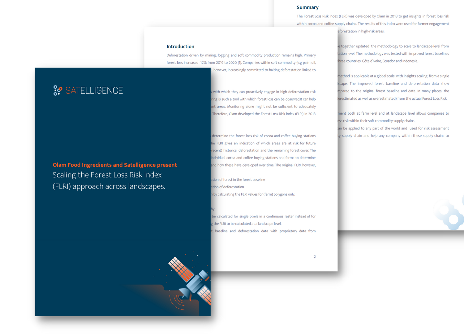
Scaling the Forest Loss Risk Index (FLRI) approach across landscapes
The Forest Loss Risk Index (FLRI) was developed by Olam Food Ingredients and Satelligence in 2018 to create deeper insights into forest loss risk within cocoa and coffee supply chains.
The FLRI methodology allows for globally applicable, scaleable analysis from the farm to landscape level, leading to improved baselines, and significantly more accurate deforestation readings. The results of this index were used for farmer engagement and for the prevention of future deforestation in high-risk areas. Next up? Use FLRI to generate global insights.
Read more about how OFI is staying ahead of deforestation in the full white paper here.

The Impact
In collaboration with commodity producers, traders and consumer goods companies partners and clients, we have successfully developed an operational, automated near real-time vegetation change alert system that addresses Olam’s needs. The application of the system has helped to show the company’s progress towards zero deforestation, reporting per hectare trends. The information provided has allowed Olam to pinpoint high-risk areas as well as getting proof of locations where successful rehabilitation has taken place. The system is currently expanded globally for cocoa, palm oil, soy and other commodity supply chains.
Thanks to our partnership Olam is able to understand and mitigate its environmental footprint. With our cooperation, the company is embracing sustainable practices, outcomes, and reporting to achieve its sustainability goals.
