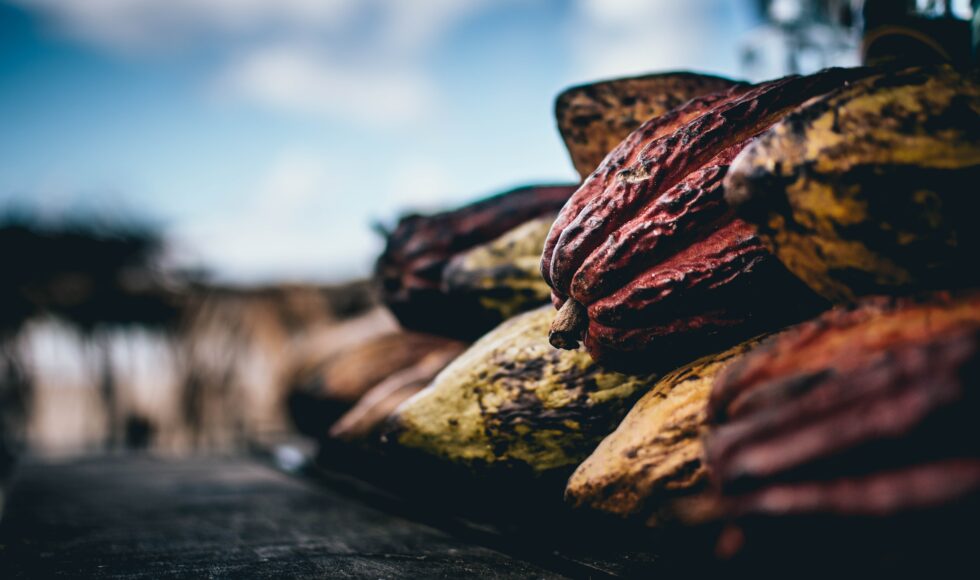
Using new data from the European Sentinel-1 and 2 satellites in combination with Artificial Intelligence, it is now possible to accurately map cocoa growing areas and detect the associated deforestation. But how does this work and why was it not achievable before? Find out about next steps towards deforestation-free cocoa supply chain monitoring in West-Africa.
Satelligence and partners Touton and SNV shared this exciting progress at the invitation of Cocoa & Forests Initiative (CFI) stakeholders in Ghana. CFI is an active commitment of leading cocoa-producing governments and chocolate and cocoa companies. Among others, CFI aims to eliminate illegal cocoa production in national parks and forest reserves.
End deforestation and achieve viable livelihoods
The improved resolution, scale and timeliness of map information based on Sentinel imagery enable cocoa sector stakeholders to better assess deforestation risk and work with farmers to achieve viable livelihoods without encroachment of parks and reserves. All stakeholders in the sector will be able to use the data to better and faster complete risk assessments and end deforestation and forest degradation in the global cocoa supply chain.

Cocoa and forest landscape in Ghana mapped by Satelligence, Ghanian GIS experts, with support from SNV, Forestry Commission of Ghana and Touton.
Mapping all cocoa growing areas
Until recently, it has been impossible to accurately and cost-effectively map cocoa distribution of entire countries at farm level detail, because cocoa trees show up as forest in traditional satellite images, and the use of spatially detailed imagery is found expensive especially where smallholders are concerned [1].
New approach: combining local expertise, satellite data and AI
For our new approach we used freely available Sentinel-1 and 2 satellite imagery and built on scientific methods developed in Ghana by Benefoh et aland Asubonteng et al [2][3]. While engaging local knowledge and feedback from local experts, we improved these methods with the combined use of imagery at 10m detail, advanced radar imagery that can better capture forest and cocoa structure [4], and new machine learning techniques that achieve higher accuracy than previously possible.
Cloud free observations guaranteed
There’s even more to it though. Before we could map cocoa, we needed to solve the problem of semi-persistent cloud and haze cover over West Africa. One way of dealing with this is to use Sentinel-1 radar that can ‘see’ through the clouds and haze. Secondly, we had to implement an automated cloud removal and tedious haze correction process to clean up all usable pixels of Sentinel-2 imagery collected every 5 days throughout the entire year.
Global scale mapping at farm level detail
Leveraging the power of cloud computing, powered by Google Compute Engine, we used over 400 Gb of Sentinel-1 and 2 data to generate an initial draft map of the entire cocoa landscape of Ghana for the year 2018 at 10m detail.

Left: usual cloudy observation of Ghana, Centre Left: cloud free Sentinel-1 input, Centre Right: cloud free Sentinel-2 input, Right: preliminary classification result. Contains modified Copernicus Sentinel data [2018]
For the classification process we implemented an extreme gradient boosting (XGBoost) machine learning approach, trained by hundreds of ground samples generously provided by SNV and the Forestry Commission of Ghana. Our main area of interest centred on a 675,000 hectare mapping area covering the Juabeso-Bia Hotspot Intervention Area of the Ghana Cocoa REDD+ Programme.
Spot-on alignment
The real excitement came when we overlaid Touton SA’s ground-based farm boundary data on the satellite-derived cocoa land cover map (below). Although both datasets have been generated independently, their alignment is spot-on. You can see that Touton’s farms follow the straight boundary of the forest of Bia natural park exactly. Even the farms less than 1 hectare have been identified correctly using the Sentinel imagery.

Farm data produced by Touton (black lines) overlaid on map product produced by Satelligence. Courtesy 3PRCL landscape project led by Touton. Partnership for Productivity Protection and Resilience in Cocoa Landscape. Colour scheme according to local expert preference.

Comparison of Pleiades 0.5m imagery with our Sentinel-based 10m cocoa land cover map. Despite a 3 year difference, clusters of trees correlate very well with the agroforestry cocoa (light green) and forest (dark green) patterns in our map based on 10m Sentinel data. Pleiades Image ©CNES/Airbus
The accuracy of the map result was verified quantitatively using an independent dataset collected on the ground, and very high resolution imagery from alternative sources.
Using around 1000 samples, our team confirmed that agroforestry cocoa (with shade trees) can be mapped with 80%, full sun monoculture cocoa with 91% and forest with > 95% accuracy.
Thanks to Copernicus’ free and open data policy, this approach can now be feasibly scaled up to map all cocoa in the world.
Detecting deforestation associated with cocoa in near real-time
So far, companies that have committed to eliminating deforestation in their supply chains were struggling to demonstrate measurable reduction in deforestation in their supply chains due to lack of appropriate and cost-effective forest monitoring systems and reliable imagery.
Having guaranteed continuous cloud free observations from Sentinel-1 radar is a real game-changer for early warning. Satelligence adapted its operational approach tested in Asia and South America with our colleagues at Wageningen University [5,6], and processed all Sentinel-1, 2 and Landsat-7,8 observations made since 2015 into weekly vegetation change over entire Ghana.
Combining the cocoa distribution map with near realtime vegetation change, our team could identify 8 priority locations for more targeted and effective risk management (see black circles below). Progressive changes elsewhere related to mining (‘Galamsey’) and logging can also be observed weekly.

Input Sentinel-1 radar imagery and recent vegetation change map. Black circles indicate 8 prioritised change alert areas with active deforestation in parks and reserves (vegetation clearing in 2018: shown in red). Here, ground visits should take place to verify whether the clearing is related to newly planted cocoa or not.
Next steps — toward making Deforestation-Free supply chain monitoring a reality
#1. Refine mapping and scaling to entire West-Africa
During the next weeks we will support cocoa sector stakeholders to refine the cocoa mapping results further, and scale it to entire West Africa. Moreover, we will have to determine the exact potential and limitations of the implementation of a deforestation monitoring service together with the experts in Ghana including the leading Resource Management Support Centre (RMSC) at the Forestry Commission.
#2. Pilot alert systems with supply chain actors
Furthermore, we will be working to develop protocols for validating our near realtime deforestation alert systems and develop feedback mechanisms. This will be piloted by supply chain company actors, the relevant institutional structures of Ghana’s Forestry Commission, in close collaboration with community resource management units.
Such a ground-based multi-stakeholder approach can build on the great example set by our partners WRI, with Cargill, PepsiCo and Proforest on pre-competitive landscape-level palm oil supply chain collaboration in Indonesia.
The follow up of stakeholders on the ground – lead by the authorities – is important to verify drivers of change. And plan for rehabilitation of illegal cocoa farms in parks and reserves, providing local people with alternatives.
Niels Wielaard
Big thanks to everyone who helped make this possible: Reuben Ottou, Daniel Benefor, Kwabena Asubonteng, Ernest Dwamena, field staff at Forestry Commission of Ghana, Johannes Reiche, and my colleagues at Satelligence working on this development (Rens Masselink, Loes Masselink, Michel Wolters, Berto Booijink, Vincent Schut, Rob Verhoeven).
References
[1] Kroeger, Alan; Bakhtary, Haseebullah; Haupt, Franziska; Streck, Charlotte. 2017. Eliminating Deforestation from the Cocoa Supply Chain. World Bank, Washington, DC. © World Bank. https://openknowledge.worldbank.org/handle/10986/26549 License: CC BY 3.0 IGO.
[2] Daniel Tutu Benefor et al. Assessing land-use typologies and change intensities in a structurally complex Ghanaian cocoa landscape. Applied Geography (2018) 99:109–119
[3] Kwabena Asubonteng et al. Effects of Tree-crop Farming on Land-cover Transitions in a Mosaic Landscape in the Eastern Region of Ghana. Environmental Management (2018) 62:529–547
[4] S. Saatchi, D. Agosti, K. Alger, Delabie, J. and Musinsky, J. 2001. Examining fragmentation and loss of primary forest in the southern Bahian Atlantic Forest of Brazil with radar imagery. Conservation Biology 15: 867–875.
[5] Reiche, J., R. Verhoeven, J. Verbesselt, E. Hamunyela, N. Wielaard, and M. Herold. 2018. “Characterizing Tropical Forest Cover Loss Using Dense Sentinel-1 Data and Active Fire Alerts.” Remote Sensing 10 (5): 777.
[6] Reiche, J., E. Hamunyela, J. Verbesselt, D. Hoekman, and M. Herold. 2018. “Improving Near-Real Time Deforestation Monitoring in Tropical Dry Forests by Combining Dense Sentinel-1 Time Series with Landsat and ALOS-2 PALSAR-2.” Remote Sensing of Environment 204 (January): 147–61.