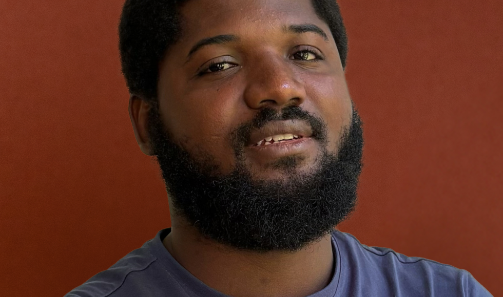
Geodata Specialist
Mamadou is a topographic engineer and has a master’s degree in geo-imagery. He is passionate about learning and sharing. He enjoys working on innovative solutions that make life easier for customers and populations in the fields of agriculture, forestry and environment.
For this, he holds the position of Geodata Specialist where he works on our deforestation and forest fire detection tools. He works also in collaboration with customers in West Africa, specifically in Ivory Coast, in order to bring the physical and real dimension of the observed phenomena.