“The use of remote sensing as a specific source of biodiversity data webinar“ webinar recording is live. This event is part of “Biodiversity data for corporate biodiversity measurement” series organized by the European Commission and EUBusiness@Biodiversity
The topics:
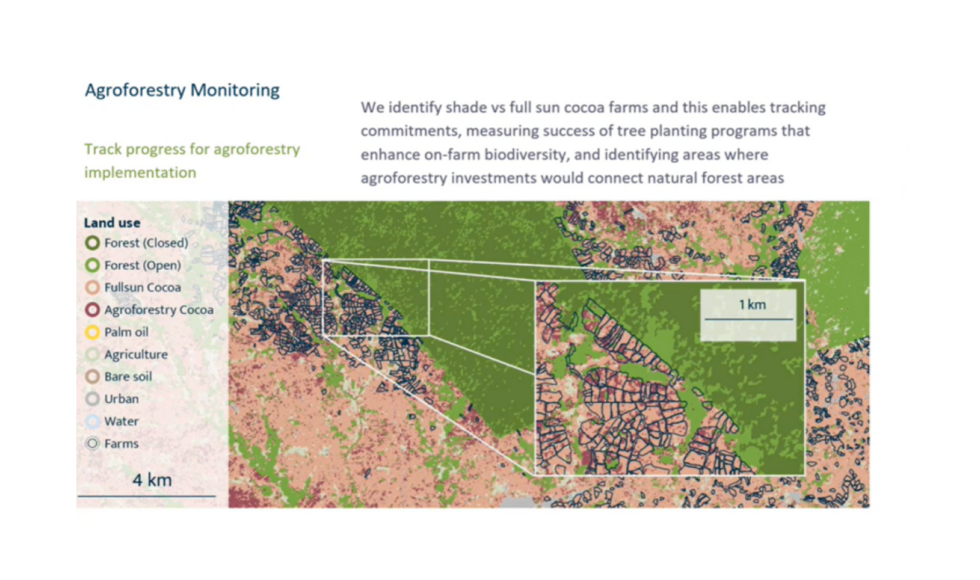
The essential role of satellite monitoring for biodiversity conservation at scale– Alan Kroeger, Head of Supply Chains and Natural Climate Solutions (Satelligence)
The use of radar-based monitoring (SarSentry) to track forest degradation – Wilbert Van Rooij, Manager (SarVision)
The use of wildlife tagging in a business context – ARGOS connectivity and CLS Solutions for biodiversity – Christel Delmas, Director Telemetry and Environmental Monitoring (CLS)
ACTIAM’s experience with using satellite imagery – Arjan Ruijs, Senior Responsible Investment Officer (ACTIAM)
Thank you for hosting Johan LAMMERANT from @arcadis and #EUBusiness@Biodiversty Platform
