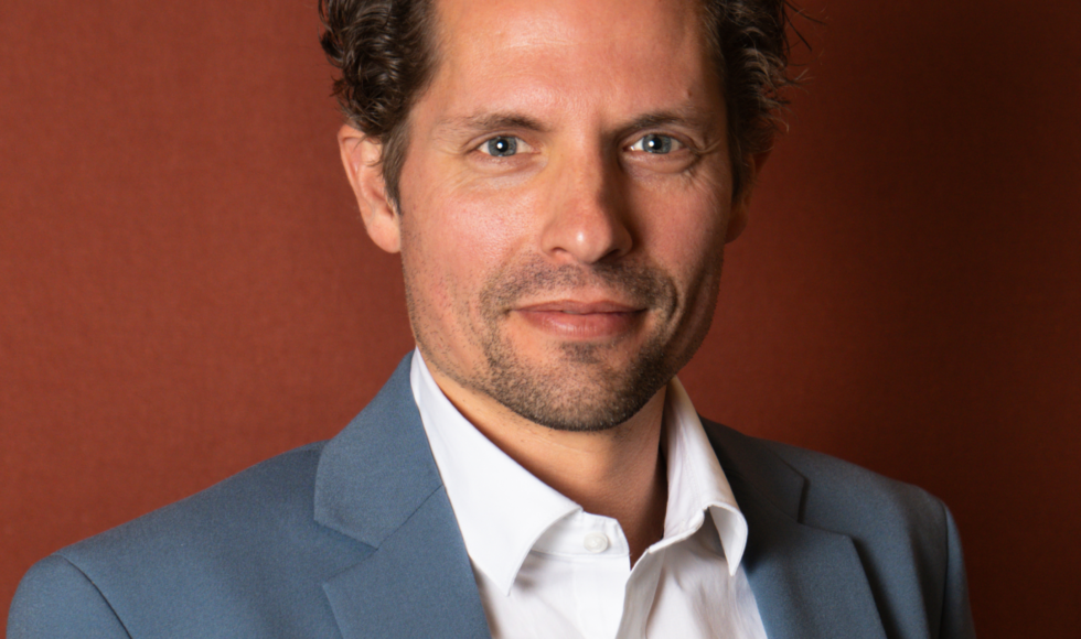
Software Engineer
Niels is a member of the software engineering team at Satelligence, working at the interface between geo-ICT and remote sensing analysis monitoring global land cover change.
Before joining Satelligence, he studied physical geography at the University of Amsterdam and received a doctorate for his work on automated classification of landforms using object-based image analysis of remote sensing data. After graduation, Niels completed research positions at Wageningen University and the University of Amsterdam focusing on drones, points clouds and biodiversity metrics. At Geodan he realised that software development is pretty cool too.
Just like his computing, Niels himself runs in loops on the track as fast as he can.
