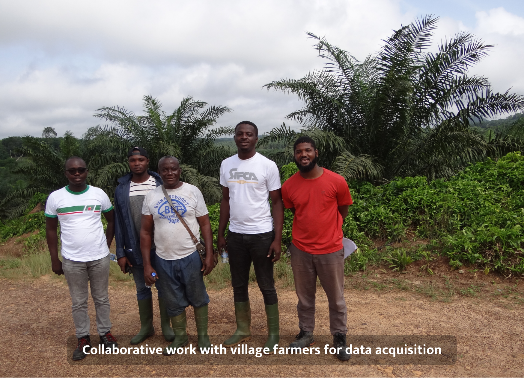
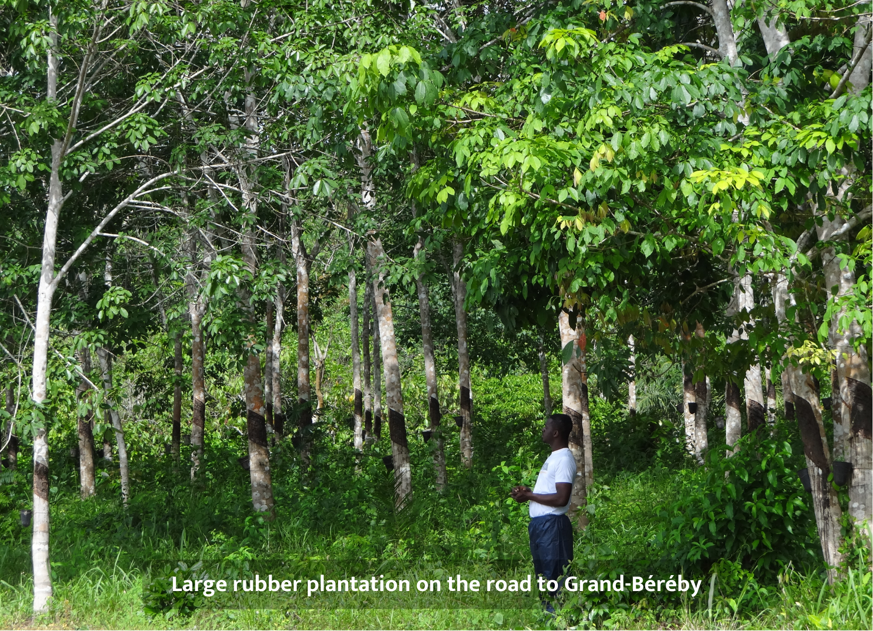
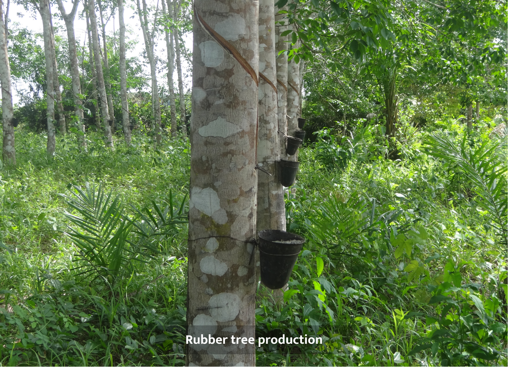
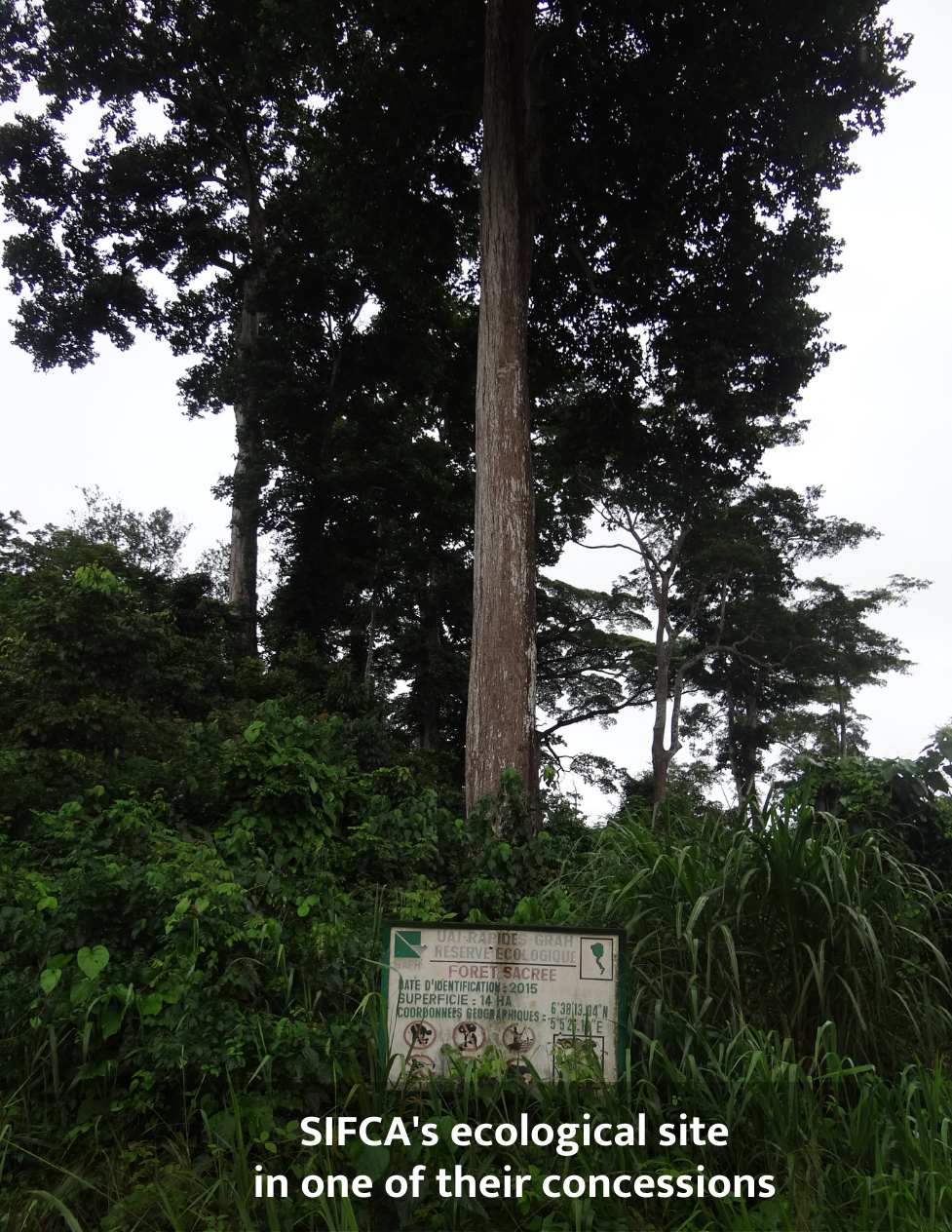
In partnership with our client Sifca in Abidjan, our Geospatial Expert Mamadou K. carried out a two-week field data acquisition mission throughout the country, moving from San Pedro, to Zuénoula, Bongo and other sites.
❔What did we want to achieve?
The aim of this mission was to understand the needs of our clients, especially how they use our deforestation alerts for awareness raising. It also helped us make improvements to our terrain mapping and understanding of the country’s agronomic landscape.
➡️For over a year, we have been providing real-time deforestation monitoring to our client, who is concerned about deforestation throughout their supply chain. In support of this, we have produced a land-use map covering 60% of the country, disaggregated by crop. These two elements combined make it possible to detect deforestation and anticipate trade crops in advance, according to commodity trends, based on our land use map.
✨This mission is the result of a great collaboration with our client and representative of our commitment to continue improving our products and services in line with our clients’ needs.


