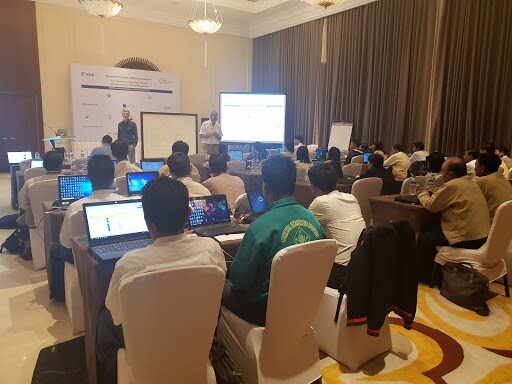
This week Nanne Tolsma and Jet Greevink travelled to Nay Pyi Taw, Myanmar for the seminar and technical training workshop as part of ESA’s Earth Observation for Sustainable Development (EO4SD) program we organise together with DHI GRAS and ITC (University of Twente). The theme of the training is ‘Myanmar from Space, a different perspective’. We aim to build capacity to gain a better background and knowledge on Remote Sensing.
The workshop is aimed at technical staff and junior researchers of the AIRBMP (Ayeyarwady Integrated River Basin Management Project, World bank), ADSP (Agricultural Development Support Project, World bank) and IAIDP (Irrigated Agriculture Inclusive Development Project, Asian Development Bank). Participants indicate they would like to gain more experience in remote sensing to use for weather forecasting, flood area mapping, inundation mapping, irrigation scheme mapping, agricultural monitoring, land survey mapping, generation of statistics, changes in catchment area (that might affect the storage capacity), classification of crop type and high resolution elevation models .

In Myanmar, we currently provide EO-based services as part of the EO4SD program to the Asian Development Bank and World Bank sustainable development projects. The products include: – Crop area and pattern mapping – Drought monitoring and identifying crop water requirements – Flood frequency mapping – Land use assessment – Understanding urban expansion. During the workshop we will discuss the use of these readymade products. Moreover, participants will learn how to use and develop remote sensing data products themselves. In this way, when there’s data gaps, there is more knowledge required.
Thanks to all the participants for their great enthusiasm and eagerness to learn about all the possibilities this technology can bring!